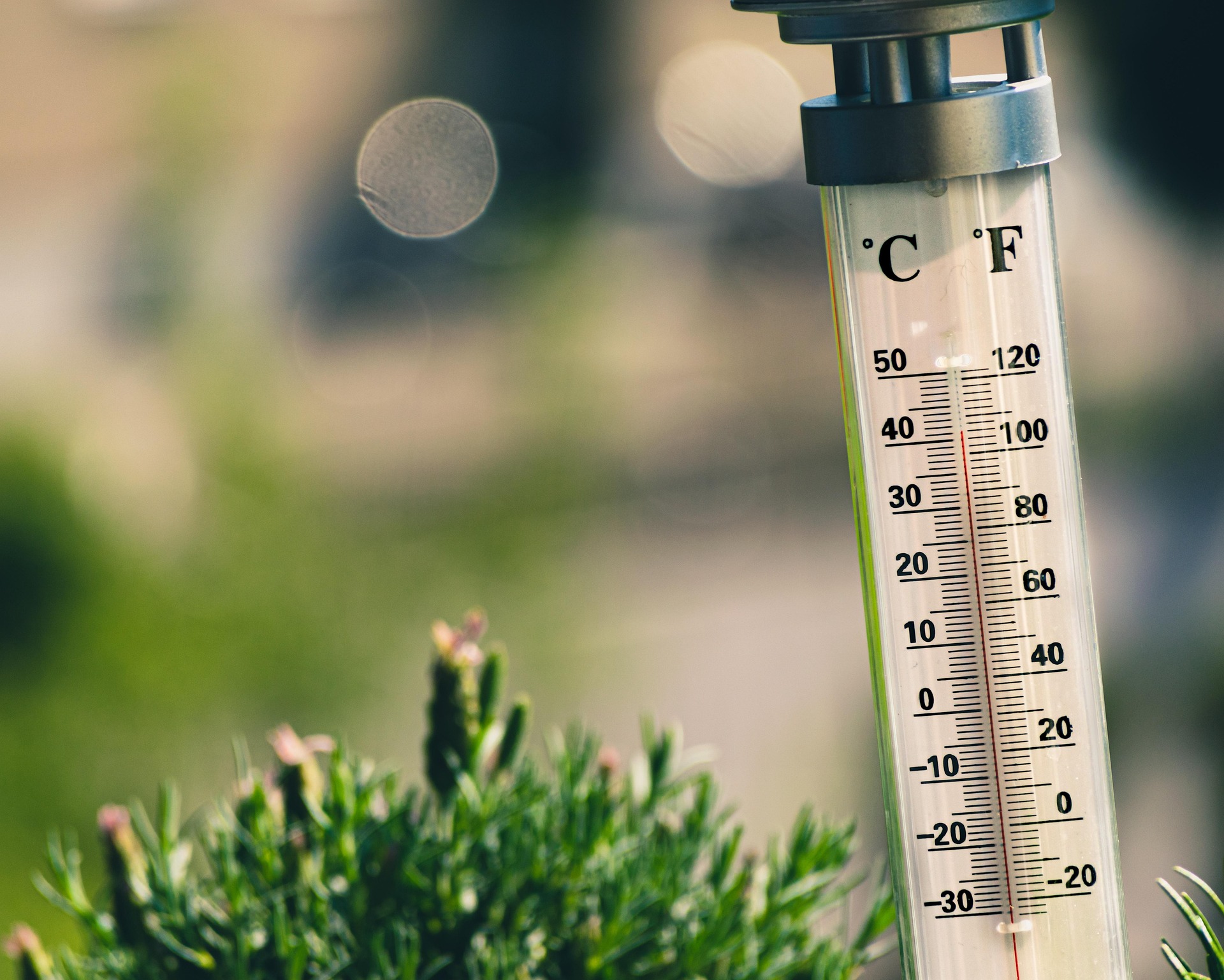
Extreme heat impacts on Victorian Infrastructure
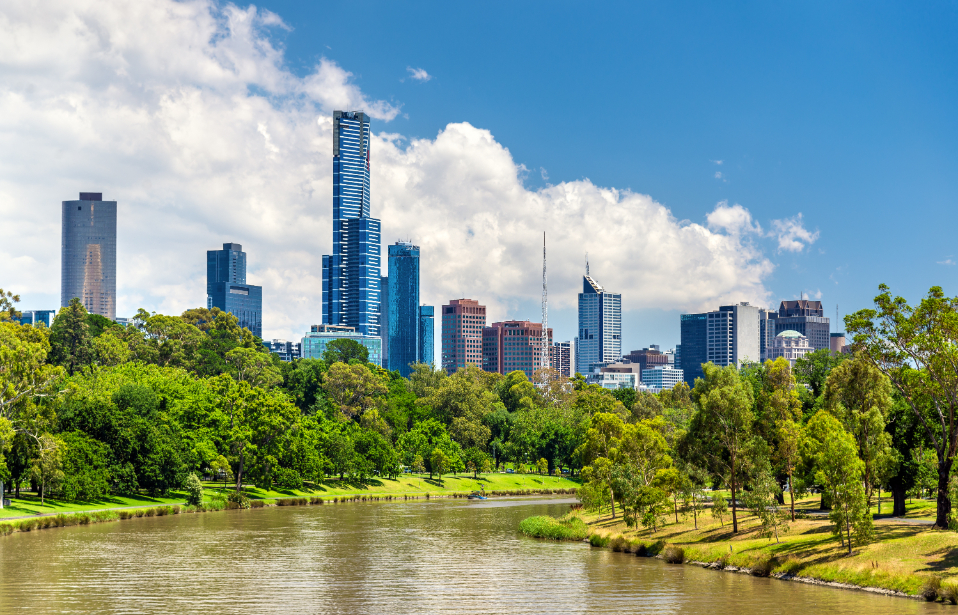
We supported this landmark Victorian Government urban development by setting urban greening targets and using advanced climate modelling to guide green infrastructure design—enhancing biodiversity, reducing urban heat, and building long-term climate resilience.
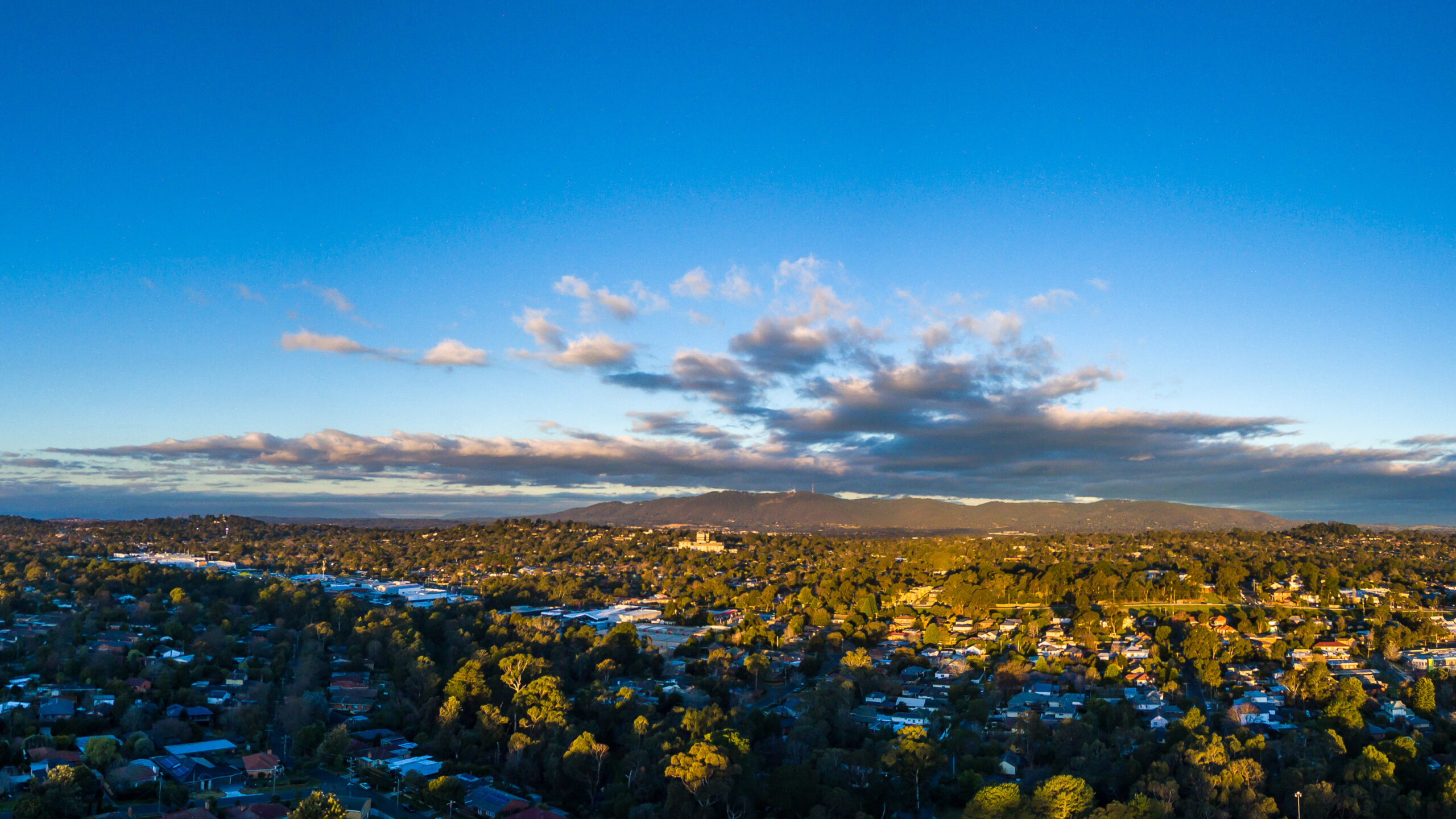
This Victorian Government-led urban development project is a national exemplar, integrating best-practice approaches across water, energy, housing affordability, ecology, Indigenous heritage, transport, and waste. A central feature is the green infrastructure network—an extensive urban forest and open space system designed to enhance community resilience, biodiversity, and climate adaptation.
To support these long-term goals, We developed draft urban greening targets informed by urban microclimate modelling and R&D program insights. Key targets include reducing urban heat island effect by at least two degrees compared to surrounding suburbs, achieving 50% tree canopy cover in public spaces, maintaining over 90% of trees in good health, and increasing flora diversity beyond 2019 levels.
We also delivered spatial urban heat modelling to quantify cooling benefits from alternative streetscapes. Our advanced spatial analytics tool integrated high-resolution canopy data with indicators of social vulnerability and biodiversity. Through urban climate modelling, we assessed the cooling performance of interventions like green roofs, cool materials, irrigated grass, and street design—ensuring the most effective measures are applied during extreme heat events.